What Is Underwater Drone Inspection?
Underwater drone inspection uses Remotely Operated Vehicles (ROVs) equipped with high-definition cameras, sonar systems, and environmental sensors to visually assess submerged structures and assets. In Singapore — a major global port handling over 130,000 vessel calls annually — underwater drone inspection is critical for maintaining hull integrity, port infrastructure, subsea pipelines, and marine installations across the island's extensive coastline.
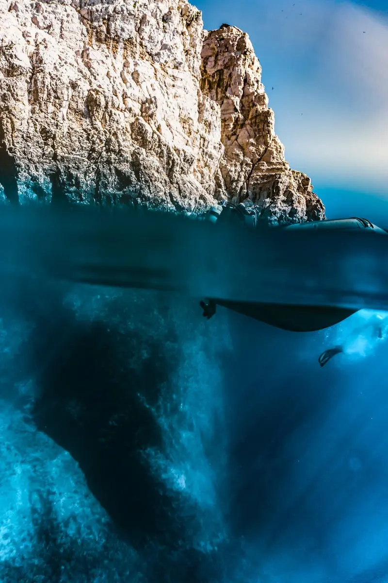
Traditional underwater inspection relied on commercial divers descending into murky, hazardous waters around busy shipping lanes and port facilities. This approach carries significant safety risks, particularly in Singapore's high-traffic port waters where vessel movements create strong currents and reduced visibility. An underwater drone eliminates these human risks entirely. The ROV is deployed from a surface vessel or dock, controlled by a trained pilot via a tether cable, and captures real-time video and sensor data that is reviewed topside.
Singapore's Maritime and Port Authority (MPA) recognises ROV-based inspection as a valid method for vessel and infrastructure assessment. Class societies including Lloyd's Register, DNV, Bureau Veritas, and ClassNK accept ROV survey data for hull condition monitoring between dry-dockings. This regulatory acceptance has driven rapid adoption across Singapore's maritime and offshore sectors, where ROV inspection now accounts for a growing share of all underwater survey work.
Underwater Drone Inspection Services We Provide
Our underwater inspection capabilities cover the full range of submerged assets found in Singapore's marine environment. Each service uses purpose-built ROVs selected for the specific operating conditions.
Hull Inspection
In-water hull surveys for vessels at anchorage or berth. We assess hull coating condition, biofouling levels, cathodic protection systems, sea chests, propellers, and rudders — providing class-compliant survey data without dry-docking.
Subsea Infrastructure
Subsea structure inspections covering jetty piles, seawalls, quay walls, fender systems, and underwater foundations. We document corrosion, marine growth, scour, cracking, and structural deformation for asset owners and engineers.
Pipeline Inspection
Submarine pipeline surveys for outfall pipes, cooling water intakes, desalination lines, and subsea cables. We track pipeline alignment, burial depth, free spans, coating damage, and anode condition along the full route.
Port Infrastructure
Port facility inspections for PSA terminals, Jurong Port, marina facilities, and commercial wharves. Combined above-water drone and below-water ROV surveys provide complete structural assessment from keel to crane rail.
ROV Technology We Deploy
We operate multiple ROV classes to match each project's depth, current, and visibility conditions. Our fleet ranges from compact observation-class vehicles for sheltered waters to work-class systems for deeper, more demanding environments.
- Observation-Class ROVs — compact vehicles rated to 150 metres depth, equipped with 4K cameras, LED lighting arrays, and scaling lasers. Ideal for hull surveys, jetty pile inspections, and marina infrastructure in sheltered Singapore waters.
- Inspection-Class ROVs — mid-size vehicles rated to 300 metres with additional sensors including multi-beam sonar, ultrasonic thickness gauges, and cathodic protection measurement probes. Used for pipeline surveys and deeper infrastructure assessments.
- 4K and HD Video Systems — all ROVs carry high-definition cameras with real-time surface display. Video is recorded continuously and time-stamped for post-survey review and reporting. Low-light cameras maintain image quality in Singapore's typically turbid port waters.
- Sonar Imaging — multibeam and scanning sonar provides acoustic imagery in zero-visibility conditions. This is critical in Singapore waters where tidal movements and vessel traffic frequently reduce visibility to under one metre.
- Positioning Systems — USBL (Ultra-Short Baseline) acoustic positioning tracks the ROV's exact location underwater. Every observation is geo-referenced, allowing precise defect mapping on engineering drawings and GIS systems.
Our Underwater Inspection Process
Scope Definition and MPA Permits
We review the asset details, access conditions, and inspection objectives with the client. For operations in Singapore port waters, we apply for MPA permits and coordinate with port operators. Marine safety assessments and risk evaluations are completed before mobilisation.
Mobilisation and Setup
Our team mobilises ROV equipment to the inspection site — whether alongside a vessel at anchorage, a jetty structure, or a pipeline route. The ROV is deployed from a workboat or directly from the quay, with all control and recording equipment set up on the surface.
ROV Survey Execution
The ROV pilot systematically surveys the target structure following a pre-planned inspection pattern. Real-time video is monitored by the client representative and survey engineer. Defects and anomalies are marked live and documented with still captures, measurements, and position data.
Data Processing and Analysis
All video, sonar, and sensor data is processed post-survey. Defects are catalogued by type, severity, and location. Sonar data is rendered into 3D models where applicable. Measurements are cross-referenced with previous survey records to track condition trends.
Report Delivery
A comprehensive inspection report is delivered within 7-14 working days. Reports include annotated video stills, defect inventories, condition ratings, sonar imagery, and actionable maintenance recommendations. Reports are formatted for submission to MPA, class societies, or asset management systems as required.
Underwater Drone vs Commercial Divers — Comparison
Asset owners frequently ask how ROV inspection compares to traditional diver-based surveys. The comparison below reflects typical Singapore operating conditions.
| Factor | Underwater Drone (ROV) | Commercial Divers |
|---|---|---|
| Safety | Zero human risk — no one enters water | High — diving accidents, decompression, currents |
| Cost | $5,000 — $30,000 | $15,000 — $80,000+ |
| Speed | 2-8 hours typical survey | 1-5 days depending on scope |
| Depth capability | Up to 300m (inspection-class ROV) | 50m max for air diving; saturation for deeper |
| Documentation | Continuous 4K video, geo-referenced | Diver-held camera, limited angles |
| Turbid water performance | Sonar operates in zero visibility | Diver cannot inspect in zero visibility |
| Class society acceptance | Accepted by DNV, LR, BV, ClassNK | Accepted — traditional method |
Underwater Drone Inspection Pricing in Singapore
Our underwater inspection pricing is based on asset type, scope, depth, and operational complexity. All quotes are fixed-price with no hidden mobilisation charges.
| Service | Typical Scope | Price Range (SGD) |
|---|---|---|
| Hull Survey (single vessel) | Full hull, propeller, rudder | $5,000 — $15,000 |
| Jetty / Wharf Piles | 10-50 piles, above + below water | $5,000 — $20,000 |
| Seawall / Quay Wall | 50-500m linear | $8,000 — $25,000 |
| Pipeline Survey | 100m — 5km route | $10,000 — $30,000 |
| Port Infrastructure (comprehensive) | Quay, fenders, bollards, seabed | $10,000 — $50,000 |
| Marine Habitat Survey | Coral reef, seagrass assessment | $5,000 — $15,000 |
Prices include: MPA permit application, ROV mobilisation, survey execution, video and sonar data capture, post-processing, and detailed inspection report. Workboat charter is included for anchorage surveys.
Singapore-Specific Considerations
Underwater inspection in Singapore presents unique challenges that require local expertise and operational knowledge.
- Port Traffic Coordination — Singapore is the world's busiest transhipment port. ROV operations near PSA terminals, Jurong Port, and anchorage areas require coordination with MPA's Vessel Traffic Information System (VTIS) and port operators.
- Tidal and Current Conditions — Singapore Strait tidal currents can exceed 3 knots during spring tides. We schedule ROV deployments during slack water windows to maximise survey quality and ROV stability.
- Turbid Water — Singapore's port waters typically have 1-3 metre visibility due to sediment, vessel traffic, and coastal construction. Our ROVs carry sonar systems that produce clear acoustic imagery regardless of water clarity.
- MPA Regulatory Framework — all underwater operations in Singapore waters are subject to MPA regulations. We maintain current permits and relationships with MPA's Port Division to ensure smooth project execution.
- Class Society Requirements — Singapore-flagged vessels and international vessels calling at Singapore ports must comply with flag state and class society survey requirements. Our reports are formatted for direct submission to the relevant classification society.
Industries We Serve
Our underwater drone inspection services support clients across Singapore's maritime, offshore, and infrastructure sectors.
- Shipping and Maritime — vessel owners, ship managers, and charterers requiring in-water hull surveys at Singapore anchorage or alongside berths.
- Port Operators — PSA, Jurong Port, and marina operators maintaining quay walls, fenders, bollards, and underwater port structures.
- Oil and Gas — offshore operators and Jurong Island facilities requiring ROV inspection of subsea infrastructure, pipelines, and marine terminals.
- Government and Utilities — PUB, NEA, and government agencies monitoring outfall pipes, cooling water intakes, seawalls, and coastal protection structures.
- Construction and Engineering — contractors and consultants requiring pre-construction seabed surveys, post-construction verification, and ongoing structural monitoring of marine works.
Frequently Asked Questions
Get a Free Underwater Inspection Quote
Tell us what needs inspecting — vessel, structure, or pipeline — and we will reply with a fixed-price quote within 24 hours. No obligation.