Damage Assessment with Drone Inspection in Singapore
Published 15 April 2026 · SG Drone Inspections
Damage Assessment with Drone Inspection in Singapore
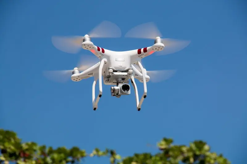
Drone inspection data serves critical insurance functions — from pre-loss condition documentation to post-event damage assessment and claims evidence. The detailed, timestamped, georeferenced data from professional drone inspections meets the standards required by insurers in Singapore.
This guide explains how to use drone inspection for insurance purposes in Singapore's property market.
Pre-Loss Documentation
- Baseline Condition Record — comprehensive visual and thermal documentation of your building's current condition.
- Timestamped Evidence — every image dated and georeferenced, proving condition at a specific point in time.
- Existing Defect Register — documented pre-existing defects so they cannot be attributed to future damage events.
- Insurance Portfolio — supporting documentation for insurance policy renewals and risk assessments.
Post-Event Damage Assessment
Rapid Deployment
We deploy within 24-48 hours after a damage event to document conditions before cleanup or repair begins.
Comprehensive Coverage
Every damage point photographed at high resolution with GPS coordinates. Thermal imaging identifies hidden moisture from water damage.
Comparison Analysis
When pre-loss data exists, we produce comparative analysis isolating event damage from pre-existing conditions.
Claims-Ready Report
Structured documentation suitable for insurer submission, loss adjuster review, and legal proceedings.
Evidence Standards
Documented Methodology
Our inspection methods are documented, repeatable, and conducted by qualified inspectors. This establishes evidence credibility.
Calibrated Equipment
Camera and sensor calibration records demonstrate measurement accuracy. Essential for temperature and distance claims.
Chain of Custody
Image metadata, flight logs, and inspector credentials create an unbroken evidence chain from capture to report.
Independent Assessment
As an independent inspection company, our findings carry more weight than self-reported damage assessments.
Working with Insurers
- Loss Adjusters — our reports provide adjusters with the objective data they need for efficient claims processing.
- Underwriters — regular inspection records demonstrate proactive risk management, potentially supporting premium discussions.
- Dispute Resolution — independent drone data provides impartial evidence for claim disputes.
- Subrogation — when damage is caused by third parties, our documentation supports recovery proceedings.
Frequently Asked Questions
Building an Insurance-Ready Documentation Programme
Proactive building owners establish a systematic documentation programme that supports insurance coverage, claims processing, and risk management throughout the building's lifecycle.
Baseline Documentation
Commission a comprehensive drone inspection establishing the current condition of all building facades, roof, and structural elements. This baseline becomes the reference point for all future condition comparisons and damage assessments.
Regular Update Surveys
Annual or biennial drone surveys update the condition record. These surveys are brief and inexpensive ($800-$2,000) but create a continuous documentation trail showing the building's condition at regular intervals.
Post-Event Documentation
After any event that could affect the building — severe weather, nearby construction, ground movement, fire — commission an immediate drone survey. Timely documentation preserves evidence before cleanup or emergency repairs alter the damage scene.
Remediation Documentation
After repairs are completed, drone inspection documents the restored condition. This closes the loop on damage events and establishes the new baseline for the repaired areas.
Working with Loss Adjusters and Insurers
Our inspection reports are designed to facilitate efficient claims processing. Here is how they support each stakeholder in the insurance process.
Loss Adjusters
Adjusters receive objective, timestamped evidence documenting damage scope and severity. GPS-referenced defect mapping provides precise damage boundaries. Thermal data reveals hidden moisture damage that visual assessment alone would miss.
Quantity Surveyors
QS teams use our detailed defect register and annotated imagery to estimate repair costs with precision. Accurate damage quantification leads to fair settlement values without the disputes that arise from incomplete documentation.
Legal Teams
Our documented methodology, calibrated equipment records, and qualified inspector credentials establish evidence integrity for legal proceedings. The data chain from capture to report is fully traceable and defensible.
Underwriters
Regular inspection records demonstrate proactive risk management. Buildings with documented maintenance programmes and periodic condition assessments present a lower risk profile than those with no inspection history.
Types of Claims Supported
Drone inspection evidence supports a wide range of insurance claim types encountered by Singapore property owners.
- Storm Damage — wind damage to facade elements, water infiltration from driving rain, and structural impact from flying debris documented with visual and thermal evidence.
- Water Damage — roof leaks, pipe bursts, and facade infiltration causing internal damage. Thermal imaging identifies the full extent of moisture penetration beyond visible damage.
- Construction Damage — adjacent construction activities causing vibration damage, debris impact, or settlement effects on your building. Pre-construction and post-construction surveys establish causation.
- Fire Damage — structural damage assessment, heat exposure effects on facade materials, and smoke damage documentation for buildings affected by fire events.
- Subsidence and Settlement — cracking patterns, structural displacement, and facade distortion documented through high-resolution photography for ground movement claims.
Get a Free Drone Inspection Quote
Tell us about your building or asset. We reply with a fixed-price quote within 2 hours. No obligation.